Text : Katie
Photographs : Internet
The hills are alive with the sound of music”. The drum beat of the rain, sharp whistling of the wind; rustle of leaves as they sway and bend when lashed by the rain; the angry squawk of a soaked bird and the flap of wings, roaring waterfalls all blend into a symphony. Listen! The grass is growing as the water soaks into the hot thirsty earth. Weathering all seasons in the sun, the hills respond joyously to the monsoon with relief. By the end of a scorching summer the hills are burnt to a gray-brown. Only the most hardy shrubs survive. But, as the clouds burst and rejuvenating water penetrates the earth, almost overnight rocks are clothed in the many hues of green and yellow. It is definitely the most favourite season of the Mumbaikar and Bollywood too! Romance and rain are firmly entwined… Rimjim ke tarane leke aaiyi barsat…Dum dum digadiga, mausam bhigabhiga… provoke us to dance in the downpour. A number of locations have been established in the Western Ghats; short rides from the city of Mumbai. Enchantment unfolds in the mountains and valleys when the rain scatters its magic and the urbanite is magnetically pulled into the hills of the Sahyadris bursting with new life. Slumbering seeds shoot up, flowers blossom, dormant creatures awaken, birds and insects are all nudged into activity.
Bio-diversity hotspot
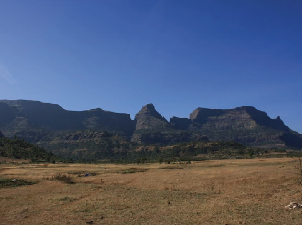
The Western Ghats, also known as the Sahyadri, are the Benevolent Mountains. They rise on the west coast of India in Gujarat and run parallel to the entire west coast, covering 140,000 square kilometers right down to the Indian peninsula, going through seven states, of which Maharashtra is one. ‘As old as the hills’ goes the adage and so it comes as no surprise to know that this World Heritage Site, the Western Ghats are much older than the Himalayas and foster an exceptionally high level of biological diversity and endemism. Endemic – plants and animals that are found nowhere else in the world. They are one of the world’s ten “hottest biodiversity hotspots” containing over seven thousand, four hundred and two species of flowering plants, one thousand, eight hundred and fourteen species of non-flowering plants, one hundred and thirty-nine mammal species, five hundred and eight bird species, one hundred and seventy-nine amphibian species, six thousand insects species and two hundred and ninety freshwater fish species. At least three hundred and twenty-five globally threatened species occur in the Western Ghats. Scientists feel that there may still be many undiscovered species that thrive in these hills.
Tribal people have inhabited these hills and lived with Mother Nature through the ages. It is only with the coming of the British to India, that corridors were cut through the mountains to gain connectivity from east to west for commercial purposes.
The legend of Kalsubai
The Kasara Ghat is also called the Thal Ghat. A treacherous mountain pass, located at a height of 1919 feet. It was carved out of the unyielding rock to provide road and rail connectivity from the Eastern part to the Western part of the country. Igatpuri, close to the Thal Ghat, is the gateway from the Deccan Plateau to the west coast.
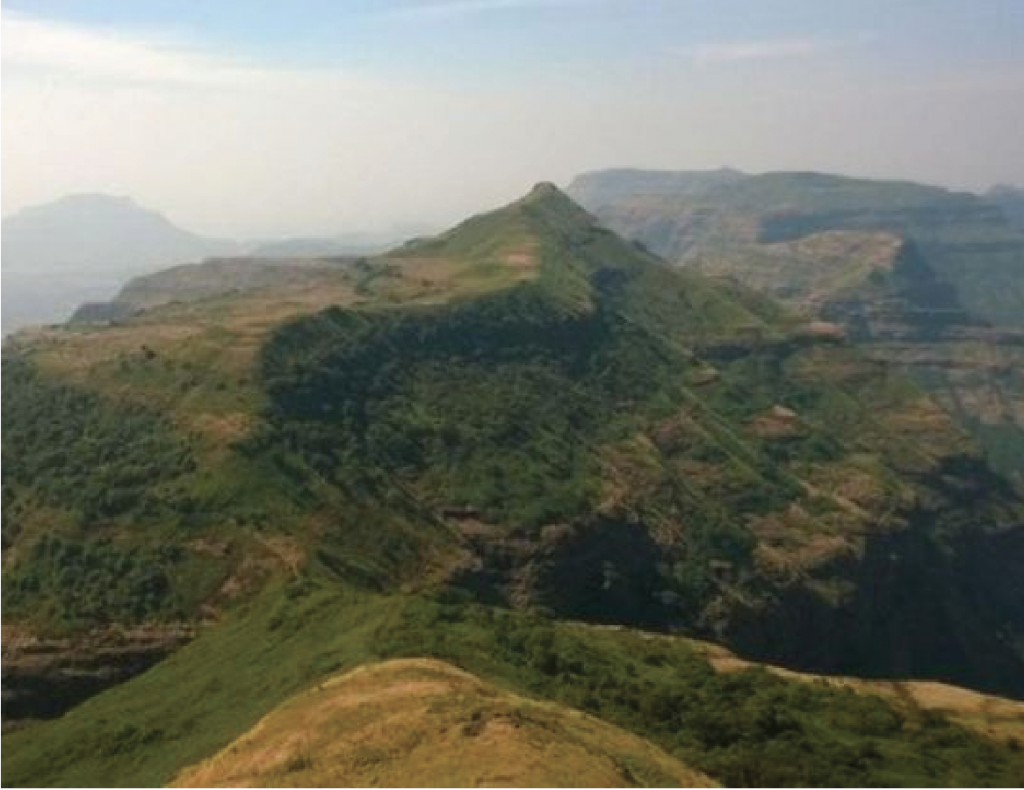
By road, Igatpuri lies 120 kilometers from Mumbai and is a fairly straight drive along National Highway 160. It is a small hamlet of fifteen square kilometers, nestling in a valley at a height of approximately 2000 feet above level sea level, surrounded by the highest peaks of the Sahyadri. Average height of the peaks in the Sahyadri range is 2500 feet to 5000 feet and the highest peak, Kalsubai, stands at 5400 feet; the highest in Maharashtra. It is situated in the Kalsubai range which is an offshoot of the main Sahyadri range. The name of this mountain range is derived from the name of the peak, which has received its name from a legend.
In India, most of the high mountain peaks are linked to a legend protecting the chastity of harassed maidens taking refuge within the mountain to protect themselves, like Nanda Devi in the Himalayas. Nanda was a princess. When her father’s kingdom fell to the Rohillas, she fled to the mountain to avoid molestation and it is said the mountain peak opened its portal and welcomed her within its fold. Thus, she is now revered as Devi and the peak, bearing her name is sacred.
The legend of Kalsubai is somewhat similar. Kalsubai was a housemaid living in Indorey village. It is said that one day, while trying to escape the predations of her employer, she fled into the mountains and simply disappeared. A temple has been built in her memory bearing her name on her peak. A traditional prayer service is held twice a week, to this day, on Tuesdays and Thursdays. During the Navratras, thousands of people flock to this temple to offer prayers and be a part of the nine-day festival celebration dedicated to the Goddesses. The government and local villagers have made the route easy and safe for pilgrims by erecting ladders and cutting steps wherever necessary. The Kalsubai trek is not a difficult one in terms of a climb, but requires fitness and stamina.
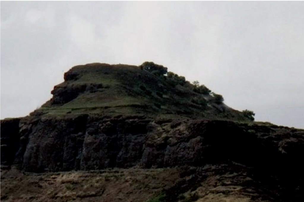
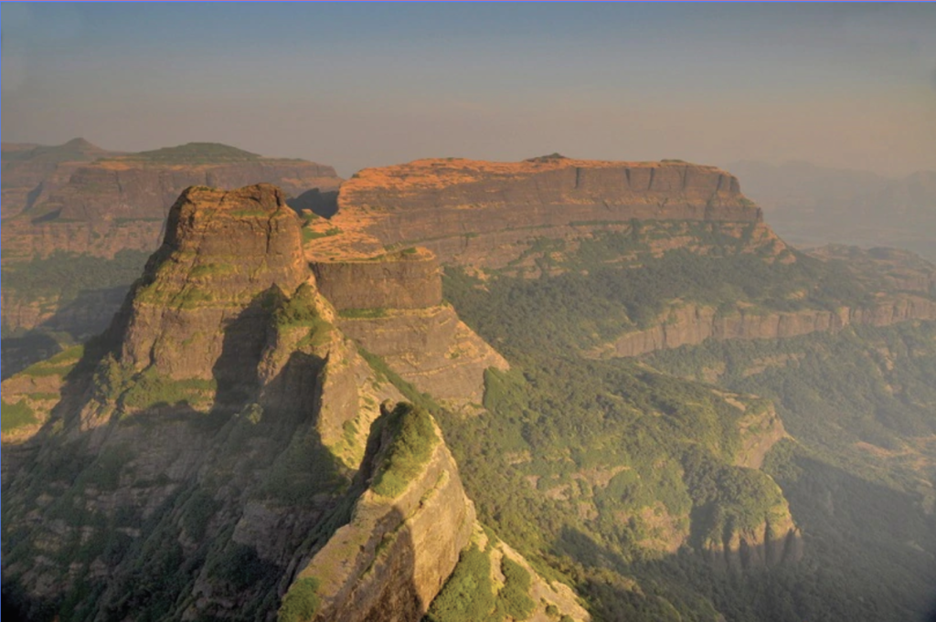
That in times of yore, Igatpuri was a strategically important location, is borne out by the ruins of forts surrounding it. Starting from west to east this range contains Kulang, Madangad and Alangad forts, built during an epoch when the only means of locomotion was walking, so, forts were deliberately built upon the highest peaks available. They gave the defenders a complete view of the approaching enemy and plenty of time to be in readiness to rebuff him, if at all, given the dangerous conditions of the climb. So, today, this entire range is stunning from the trekkers’ point of view. Though small in length, it has some of the tallest peaks and the strongest forts; the Kalsubai peak affords a stunning view of all these forts.
Kulang Fort is located at an elevation of about 4825 feet above sea level and is one of the oldest forts in the region. Its history dates back to the Satavahana dynasty. This fort was constructed by the later Satavahana kings. With the fall of the dynasty the fort was captured by other rulers. It fell to the Mughals, the Marathas and finally, was taken over by the British who found no use for it and allowed it to deteriorate.
Although in ruins, the climb to the fort is tough and exciting for mountaineers, besides which it is sufficiently mysterious for the history buffs to poke around in.
Madangad and Alangad are the other two hill forts forming a magnificent trio along with Kulang on the Kalsubai stretch of the Western Ghats.
Situated at a height of 4500 feet above sea level, Alangad fort is one of the most difficult to get to. Alang has been built into the steep incline and carved from the mountain itself. Most of the old hill forts are nearly gigantic hill carvings, designed utilising the existing natural formations like caves, cliffs, gradients, ridges and even forests to fulfill the historical need of the time; to post lookouts on the highest and most difficult to attain geographical point overlooking the area. History does not tell us much about this fort, but the stone carvings in the fort indicate that it was built by the local tribes who resided in nearby villages. Several caves have been discovered within the fort, which were probably living quarters for the locals. Inscriptions in Sanskrit and Pali are visible on the walls. The fort stands on pillars that were built using single stones. The main wall of the fort is built on the ridges and looks like it is a part of the mountain rocks. This would also serve as a camouflage to conceal its identity. It also has a raised rampart, thirty meters thick built in a curved shape alongside the hill top. Steep slopes on the sides of the fort and a vertical slope of around a hundred meters makes it extremely difficult to scale over. However, it is connected with a number of hillocks that surround the two adjacent forts. The arrangement indicates that the fort was built for civilians to take refuge in during the wars that frequently erupted. Access to this fort was quite impossible and the easiest way in and out of it was a tunnel, known only to the local people of the time. Although made of local stone, the heavy monsoon and years of neglect have left it dilapidated. The area is covered with thick, lush vegetation as it receives the heaviest rainfall in the Western Ghats.
Madangad, standing at 4825 feet above sea level is the third member of the trio. The area of the fort is quite small as compared to Alang and Kulang, its adjoining forts. There are merely two water tanks on top of the fort in which water is available only till February and there is a cave that can accommodate around fifteen to twenty people. There is some confusion about its history. Belonging to the Satavahana era, some historians claim that the local tribes built it as their hide out, but according to the British records, Madangad was occupied by the Mughals first and later was captured by the Marathas. Its height served as an ideal watch tower during the medieval period. This trio of Alang, Kulang and Madan forts constitutes the most perilous climb in the Sahyadris. It needs a high degree of fitness, experience, climbing and rappelling skills, but is nevertheless the most thrilling trek and climb across jagged mountains and dense forests for the diehard adventurer.
The area visible from the top of the fort is scenic. One can see Alang, Kulang, Chota Kulang, Ratangad, Ajyagad, Katrabai, Dangya Pinnacle, Harihar and Tryambakeshwar.
Tringalwadi Fort, temples and a spiritual centre
Tringalwadi Fort is yet another popular destination. The easiest way to get to the fort is through the Tringalwadi village which is closest from Igatpuri. A small mud path leads from the village through rice fields and runs alongside small streams, northward till the Jain caves are reached at the foothill of the fort. The climb to the fort begins from here.
Situated at 3000 feet above sea level, its stuns the onlooker with a panoramic view of the surrounding mountainside, especially of Kulang and Kalsubai mountain ranges. The fort, which is considered an architectural marvel nestled in the Sahyadri range, attracts hikers and trekkers like magnets, particularly during the monsoon when the hills are lush green, the weather cool and the slopes easy to tread, but also treacherous when wet. The top of the fort resembles a turban and dilapidated though it be; is still a thrilling monument to explore. A temple dedicated to Lord Hanuman stands in close proximity.
In a region bearing deep scars of ancient history, it would be surprising to find no temples. Temples are the stamp of each ruling dynasty just as much as a fort is.
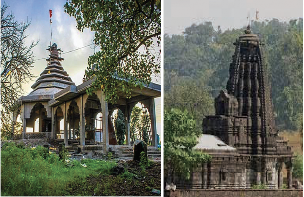
Amruteshwar Temple is an ancient Shiva temple situated on the banks of holy river Pravara at Ratanwadi village of Igatpuri. Dedicated to Lord Shiva, it is said to be over 1200 years old, built by the rulers of Shilahara dynasty in ninth century, constructed in Hemadpanthi architectural style with beautiful rock carvings on the exterior of the main shrine. It is one of the twelve Shiva temples built by King Jhanj. The temple stands at the base of the climb to Ratangad Fort.
Of major significance to the area is the Ghatandevi Mandir, a temple dedicated to Ghatan Devi – protector of the hills (ghats). Its location in a serene valley with the peaks of Harihar, Durvar Utvad and Trimbak surrounding it, forms a befitting backdrop for their patron Goddess.
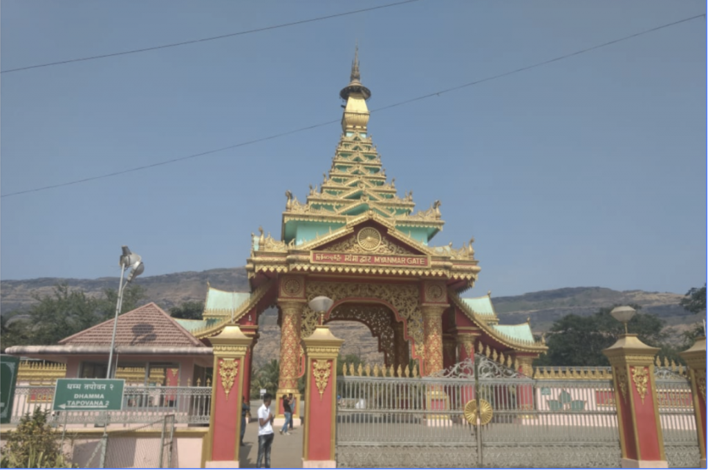
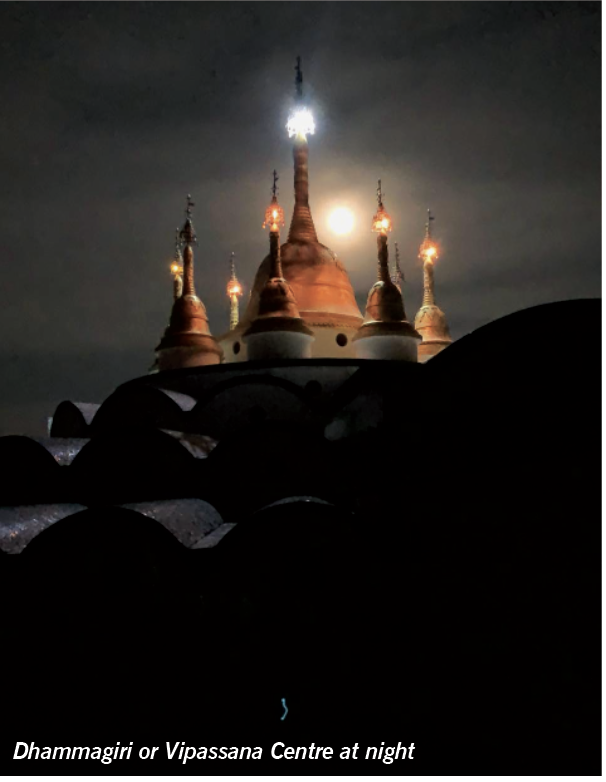
Although not a temple, the Vipassana centre – Dhamma Giri has had the strongest association with Igatpuri since its inception. It is one of the world’s largest meditation centers and the main centre of a rapidly growing global Vipassana organisation. It a religious centre that offers Vipassana courses; an insightful meditation technique that was taught by Lord Buddha about 2500 years ago in our country. A sprawling structure with a tall Golden Pagoda, it can be seen from a great distance, appearing as a landmark. Set in peaceful surroundings it is one of the most calming places to spend time in.
History has now been added to by a contemporary event with a fairy tale touch. The late actor Irrfan Khan of Bollywood fame happened to visit Tringalwadi once. He loved the place so much that he bought some land and built a house for himself and his family. Not just that, he adopted the village as his extended family and made every effort to change the lives of the villagers. “He was a guardian angel to so many families. He never said ‘no’ whenever asked for help. Whenever we needed him, he stood by us”, say the people of Igatpuri. His demise has left the tribal folk of Igatpuri with a wound in their hearts, a gap they are unable to fill. Though they are still mourning the loss of their guardian angel, his memory remains etched in their hearts. Igatpuri will bear his stamp, for the villagers have renamed the locality in which Irrfan’s weekend home is situated as ‘Hero-chi-wadi’. A new landmark today, in time to come it will be history.
Tringalwadi dam and lake are also distinct landmarks of the area. Star gazing on a cool winter’s night by the lake “With a book of verse and a jug of wine” is a taste of heaven.
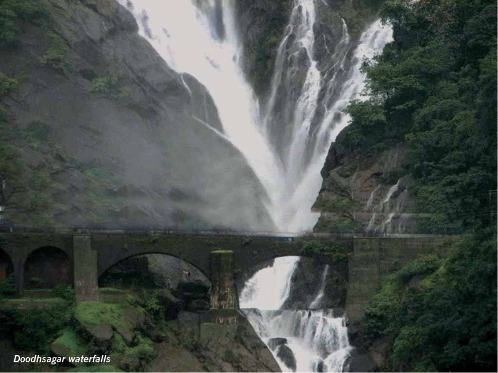
The Bhatsa River Valley lies at the end of the Thal Ghat just before one actually enters Igatpuri. The Bhatsa being a fairly large river, swells during the monsoon creating wondrous waterfalls. Camel Valley, a short distance from Bhatsa is also breathtakingly beautiful. Its main attraction being, a waterfall that hurtles down from a height of a thousand feet. The spreading spray creates a mist around that is beauteous. A leisurely stroll, with a keen eye and a camera makes it a photographer’s haven. For the energetic it can be river rafting or boating. Or, be contemplative and enjoy your own company and soak up the silence.
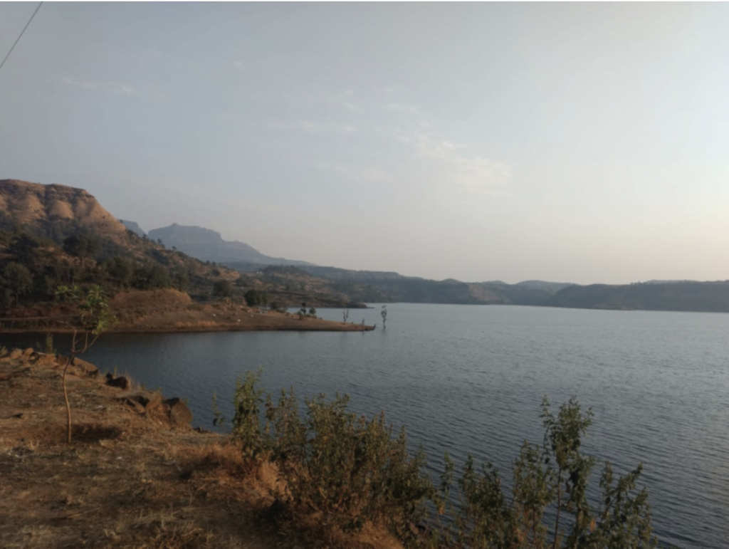
Igatpuri is choc-a-bloc with natural wonders. Whatever your passion is, you can to find a way to indulge it. Recently, several activities have been added to the list. A number of good resorts have sprung up and adapted to the need of the hour with stringent measures of sanitisation and social distancing in place. No reason why one should not be out enjoying the beauty and bounty of the mountains and the bliss of the season. Just remember that we are our own responsibility.

 [/column]